Multi-band GNSS
Tracks several satellite systems on multiple bands for improved accuracy where signals are weak, such as dense tree cover, steep country and tall buildings.
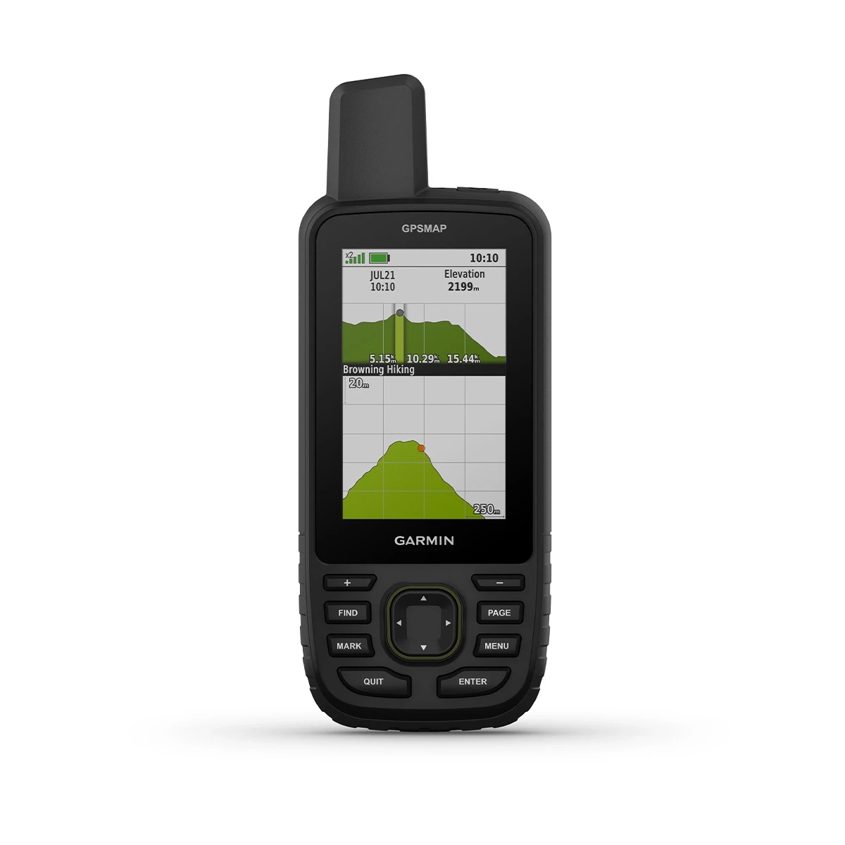
Brand: Garmin · Featured: GPSMAP 67
Rugged handheld GPS units for field navigation, surveying and outdoor operations. The GPSMAP 67 uses multi-band GNSS for dependable positioning in forests, steep terrain and built-up areas, and runs for days on a charge.
Tracks several satellite systems on multiple bands for improved accuracy where signals are weak, such as dense tree cover, steep country and tall buildings.
Up to 180 hours in standard GPS mode and up to 840 hours in expedition mode, from an internal rechargeable Li-ion battery (USB-C).
A transflective colour display that stays readable in direct sunlight.
Preloaded TopoActive maps and downloadable satellite imagery, with 16 GB of internal storage.
Altimeter, barometer and electronic compass support navigation and weather awareness.
IPX7 water rating and MIL-STD-810 thermal, shock and water testing.
| GNSS | Multi-band: GPS, GLONASS, Galileo, QZSS |
|---|---|
| Display | 3" (7.6 cm) diagonal transflective colour TFT, 240 × 400 px |
| Battery life | Up to 180 h (GPS mode); up to 840 h (expedition mode) |
| Battery / charging | Rechargeable internal Li-ion; USB-C |
| Memory | 16 GB internal |
| Size / weight | 62 × 163 × 35 mm; approx. 230 g |
| Water rating | IPX7; MIL-STD-810 (thermal, shock, water) |
| Connectivity | Wi-Fi, Bluetooth and ANT+; pairs with smartphone via Garmin Explore |
| Options | GPSMAP 67i adds inReach satellite messaging and SOS (subscription required) |
We supply other Garmin handhelds on request. Ask about the exact model and regional map availability.
By using more than one frequency band and several satellite systems, the receiver handles reflections and obstructions better, giving steadier positions in forests, valleys and city canyons.
Not for the GPSMAP 67. Satellite messaging and SOS on the 67i require an inReach subscription.
Yes. Pair it with the Garmin Explore app to sync waypoints, routes and activities and to get weather updates.
Tell us your terrain and team size. We'll recommend the right Garmin model and accessories.